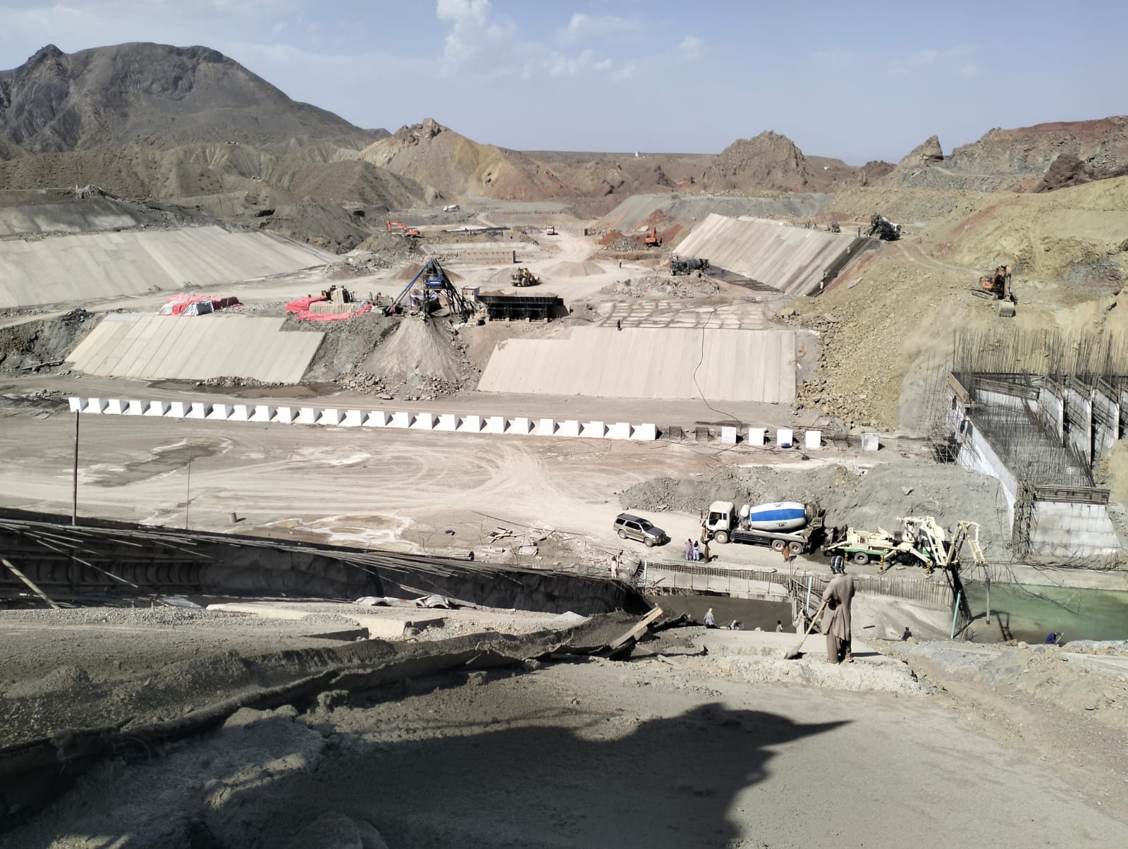
The Siri Toi Dam Project is located in Union Council
Sambaza, Tehsil and District Zhob in Balochistan Province, approximately 62 km
north-east of Zhob on Sri Toi River, the main tributary of Zhob River near
Killi Gul Khan. The latitude and longitude of the scheme are 31° 35′
56.35″ N, 69° 16′ 8.86″ E. The annual average availability of water
is nearly 32.216Million Cubic Meter (MCM) with a catchment area of 962 sq.km.
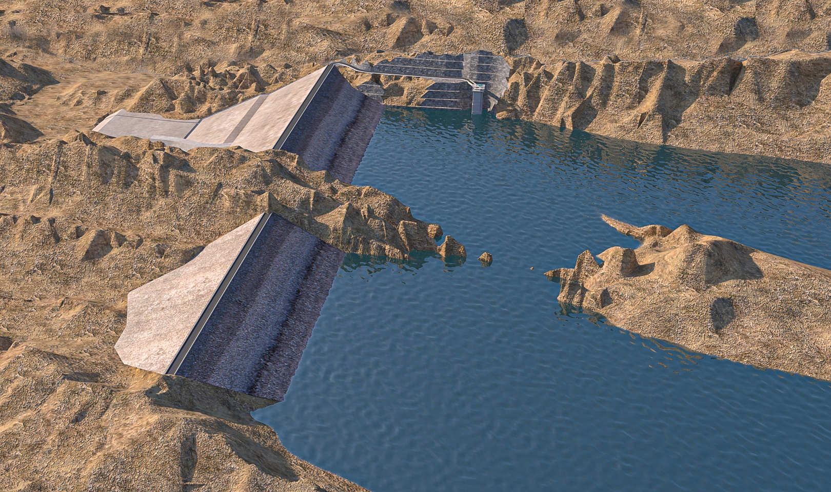
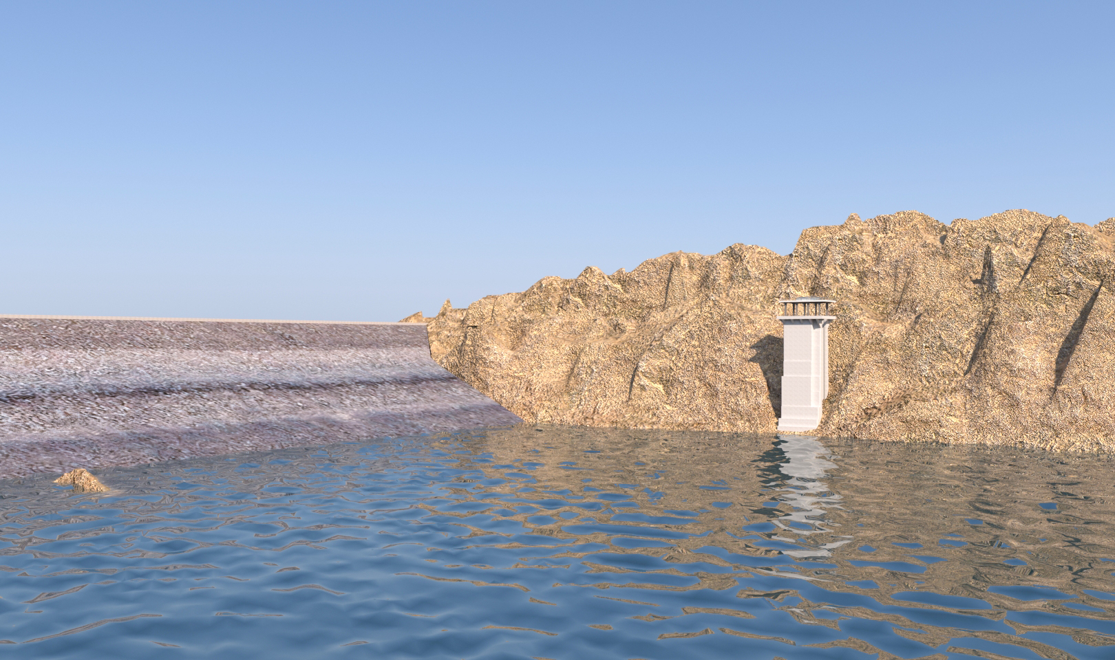
Main components of the sub-project includes main dam, dyke, spillway, intake
and outlet structures and network of main and distributary canals for
irrigation supplies.
Silent Feature
|
Total Cost |
15,344.467 (Rs. Million) |
|
Total Command Area |
4,145 hectare |
|
Dam Type |
Earth-fill |
|
Height of Dam |
72 Meter |
|
Dam Reservoir Area |
195.10 (Hectare) |
|
Spillway Type |
Ogee |
|
Width of Spillway |
148 Meter |
|
Height of Dyke |
38 Meter |
|
Intake Tower Height |
46.40 Meter |
|
Length of Right Bank Canal |
11,535 Meter |
|
Length of Left Bank Canal |
15,718 Meter |
|
Feeder Channel Length |
937 Meter |
Project Progress
|
Overall Target |
44.00% |
|
Physical Progress |
38.64% |
|
Financial Progress |
36.88% |